Industries

Roads and Highways
Our geospatial and drone-based services support planning, construction, monitoring, and documentation of road and highway projects. Services are applied across linear corridors, junctions, bridges, service roads, and associated infrastructure.
Key Applications
- Route planning and alignment studies
- Corridor and Right-of-Way (ROW) mapping
- Terrain modelling and earthwork analysis
- Construction progress monitoring
- Pavement, embankment, and slope inspection
- As-built survey and documentation

Railways & Metro
Our Geospatial and drone-based services support railway and metro projects from planning to operation. Services cover rail corridors, stations, depots, yards, bridges, viaducts, and associated infrastructure.
Key Applications
- Rail alignment and feasibility studies
- Corridor and land requirement mapping
- Station, yard, and depot area mapping
- Construction progress monitoring
- Track and structure inspection
- As-built verification and documentation
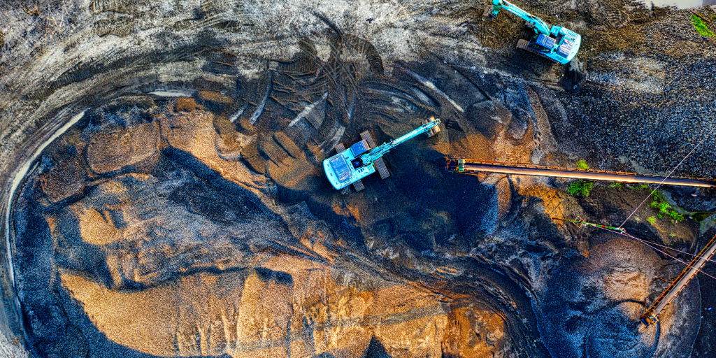
Mining & Quarrying
Our services support mining and quarrying operations by providing accurate spatial data for planning, monitoring, safety assessment, and compliance across open-pit mines and quarries.
Key Applications
- Mine topography and base mapping
- Pit, bench, and dump monitoring
- Stockpile and excavation volume analysis
- Slope and safety assessment
- Operational progress monitoring
- Compliance and reporting support

Urban Development & Smart Cities
Geospatial and drone-based services support urban planning, infrastructure development, and asset management for cities and municipalities.
Key Applications
- Land-use and base mapping
- Urban infrastructure planning
- Property and asset mapping
- Construction and development monitoring
- Change detection and analysis
- GIS database creation

Utilities (Power, Water, Pipeline, Telecom)
Our services support mapping, inspection, and monitoring of linear utility infrastructure to enable accurate documentation and asset management.
Key Applications
- Utility corridor mapping
- Asset location and documentation
- Inspection and condition assessment
- Encroachment analysis
- Construction and maintenance monitoring
- GIS-based asset management

Water Resources & Irrigation
Geospatial services support planning, monitoring, and management of water bodies and irrigation infrastructure.
Key Applications
- Reservoir and canal mapping
- Bathymetric surveys and capacity assessment
- Sedimentation analysis
- Irrigation network mapping
- Flood and water resource studies
- As-built documentation

Construction & Infrastructure
Survey and geospatial services support construction projects from planning to execution and handover across infrastructure developments.
Key Applications
- Layout and level control
- Construction progress monitoring
- Quantity verification
- Quality and deviation checks
- Site inspection and documentation
- As-built surveys
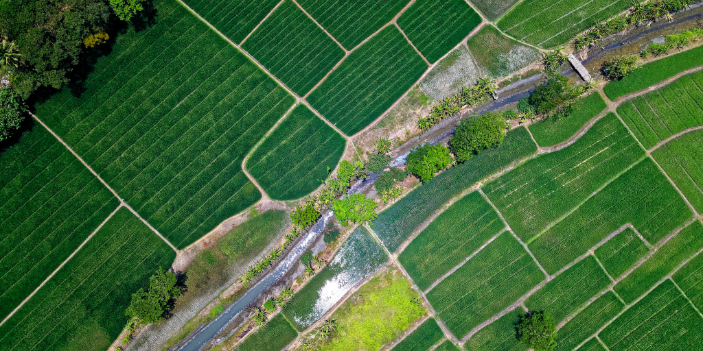
Agriculture & Plantations
Drone-based and geospatial services support efficient agricultural and plantation management through accurate mapping and monitoring.
Key Applications
- Farm and plantation mapping
- Crop condition monitoring
- Precision spraying operations
- Area and boundary assessment
- Resource planning and management
Ready to Start Your Project?
Partner with KICL for reliable drone surveying, geospatial intelligence, and engineering solutions.
Get in Touch
Have questions about our services or want to discuss your project requirements? Our team is ready to assist you with reliable geospatial and drone solutions.